Topographic Surveys for Infrastructure Projects
Overcoming Challenges with Advanced Surveying Methods.
Topographic surveys are essential for infrastructure projects.
Topographic surveys are crucial for a variety of projects, ranging from commercial real estate to infrastructure development. However, they often require a high level of detail, long hours of concentration, and surveying across large areas. Meeting the stringent standards commonly associated with these projects can be challenging and taxing when relying on traditional surveying methods.
Topographic surveys are often requested on tight schedules and in complex work environments. They must meet the demanding requirements of local governments and industry associations, going beyond simple boundary definitions to include thorough documentation of property improvements.
For commercial real estate transactions, stakeholders such as buyers, sellers, attorneys, title companies, and lenders all expect every minute detail to be captured. Missing or incomplete information can result in costly revisits and delays.
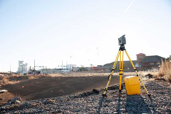
By using advanced equipment like scanning total stations, surveyors can greatly improve the speed and accuracy of topographic surveys. These devices not only make the surveying process faster but also deliver more comprehensive results. According to the 2024 Trimble market research, 34% of over 900 respondents report using scanning-capable Trimble total stations as part of their surveying toolkit, with topographic surveys ranking in the top four most common survey types (along with construction layout, boundary, and 3D laser scanning).


