DRONES

A COMPLETE WORKFLOW FROM ONE SUPPLIER

With the improvement of technology and more flexible airspace regulation, UAVs are increasingly accessible, economical, and easy to use. 

UPG has been in the UAV industry for over 10 years and has a robust product offering from a number of industry-leading manufacturers.  

DRONE HARWARE & SOFTWARE

With a specialist team who sell, train, support, and operate the UAV portfolio; we’re excellently placed to help you understand what kind of solution might be appropriate for your project. We can help you integrate a solution into an existing workflow and what’s involved in developing or improving a UAV capability. 

  • Support

  • Hardware

  • Software

  • Training

DRONE HARDWARE

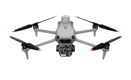
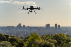
DJI Mavic 3 Enterprise

The next generation < 2kg photogrammetry solution. Improved 20MP camera, very fast flight speed for faster mission completion with all the usual RTK/PPK options, live terain following ready to go in a complete kit. Explore

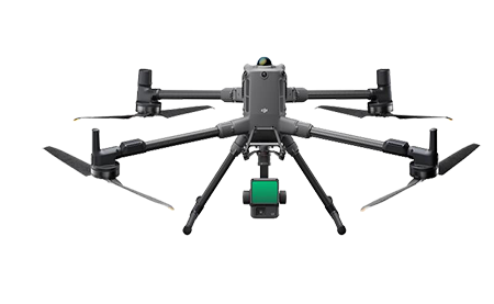
DJI Matrice 350 with P1 Camera or L2 Lidar 

Larger enterprise solution, integrated Lidar and office processing. Topo mapping through vegetation, powerlines, applications beyond photogrammetry  

Explore

DRONE SOFTWARE

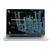
Trimble Stratus / Propeller

Trimble Stratus

Simplify earthworks progress tracking across your site with industry leading cloud based processing, analysis and sharing.

The Propeller Platform is cloud-based drone survey visualisation and analytics software. Access the measurements and project data you need to do your job, without waiting on an expert.

Explore all the features and benefits of Trimble Stratus/ Propeller

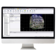
TBC Aerial Photogrammetry

Import and process imagery from industry-leading unmanned aerial vehicles (UAVs) with streamlined workflows in TBC or customise the setup with the included Inpho UASMaster software.

Then utilise your survey-grade deliverables including orthomosaics, point clouds, and digital surface models with the CAD, surface, and other tools that TBC offers.

Explore

FlyFreely 

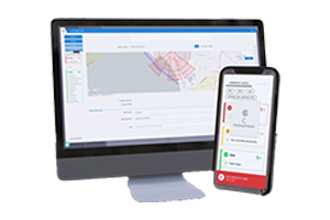
FlyFreely Software Image on Laptop

FlyFreely is an industry leading drone management platform that manages all aspects of drone operations, compliance and fleet. The platform has been developed by operators for operators to meet both CASA’s Manual of Standards requirements and the operational challenges that surveyors face daily such as limited internet connectivity.

FlyFreely provides a simple, user friendly, all in one platform for your team to effectively manage your drones program compliantly and efficiently, so you can spend more time flying and less time on paperwork.

Overview Video 

Free Trial

Pix4D

Whether its software maintenance for your Mapper licence, Pix4D Fields for working with multispectral data, or any part of the Pix4D suite, UPG is able to assist.

Professional Photogrammetry and drone mapping software | Pix4D

DRONE TRAINING

Aircraft Type | Solution Training

Single or multiday onsite training in specific drone hardware, software or full solution purchases. From basic flying to Best practice photogrammetry+LIDAR survey workflows, we can tailor training to your needs.

DRONE SUPPORT

Whether it’s a phone call to find where the latest software release has moved a button, or organising a support hire drone, contact our national team for assistance on 1800 800 UPG.

Get started with Drones and take your work to the next level