Software & Technology
Celebrating 20 Years of Trimble Business Center: Two Decades of Innovation, Integration and Industry Leadership
Trimble Business Center has spent twenty years redefining what survey, construction, and geospatial professionals can expect from office software — and as it enters its third decade, it shows no signs of slowing down.
From its earliest iterations to today's sophisticated field-to-finish platform, TBC has remained trusted globally for its precision, interoperability, and relentless innovation — with its 20th anniversary celebrated in late 2025.
A Unified Vision from the Start: Field to Finish Integration
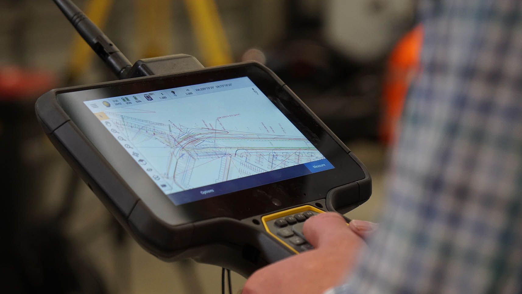
From its earliest iterations to today's sophisticated platform, TBC has always centred on a powerful idea: bring all survey and construction data into one cohesive environment — from concept to completion — to create a single source of truth.
This unified approach remains one of TBC's most celebrated strengths. The platform allows users to ingest GNSS, total station, mobile mapping, terrestrial scanning, UAV, photogrammetry, and machine control data within a single project — dramatically reducing rework and improving data confidence. This foundation set the stage for TBC's long-term leadership in interoperability, accuracy, and streamlined workflows.
Why TBC Has Remained a Market Leader for 20 Years
Feature enhancements year after year reflect real-world workflows — from pavement condition inspections and mining conformance reports to automated feature extraction and tunnelling tools.
By keeping all data in one environment, TBC reduces exports, minimises errors, and provides immediate access to comprehensive deliverables — an advantage that remains unmatched.
Whether surveyors, civil contractors, geospatial professionals, or mining engineers — TBC's modular capabilities have scaled with, and often anticipated, the needs of the industry.
From AI-driven feature extraction to advanced connected workflows and cloud-enhanced geospatial intelligence, TBC continues to push the envelope of geospatial technology.
Key Innovations Over the Years
Leading the Way in GNSS Baseline Processing and Data Confidence
TBC has continually pushed the boundaries of GNSS data processing with high-precision baseline computation, metadata review tools, and least squares adjustments. These capabilities help surveyors ensure vector quality, refine raw observations, and maintain total traceability — qualities essential for modern precision workflows.
Cutting-Edge Point Cloud Classification and Feature Extraction
Recent releases brought remarkable leaps in automated classification, deep learning-based feature extraction, and targeted filtering techniques that isolate surfaces such as bare earth or pavement. These capabilities drastically improve efficiency in construction, corridor analysis, and mobile mapping workflows.
By TBC 2025.20, the platform added target-based point cloud registration — answering longstanding user requests for more stable and accurate alignment tools, and giving geospatial professionals the confidence they need to meet their deliverables.
Photogrammetry Advancement for Modern Reality Capture
TBC continues to lead in photogrammetric efficiency with enhancements including:
- Orthomosaic generation from facades
- UAS camera merging
- Automatic Ground Control Point detection
- Improved aerial triangulation and workstation-level processing tools
These capabilities enable faster, more accurate deliverables for UAV and terrestrial imaging workflows.
A Benchmark in Interoperability
TBC has long been celebrated for connecting field and office with unmatched fidelity, but recent milestones make interoperability a flagship feature:
- Support for LandXML ISO 151434
- Support for BIM and IFC models
- Streamlined workflows to and from ESRI, Autodesk, Bentley, 12D Solutions and Trimble Access
These improvements reaffirm TBC's reputation as a "hub" connecting diverse data ecosystems.
Global Geodetic Leadership
Trimble's ongoing investment in geodetics keeps TBC at the forefront of global accuracy. Recent updates include:
- Continuously expanded coordinate system databases
- New datums and geoid models giving more support to more users globally
- Updated RTX workflows and improved GNSS vector handling
These updates empower surveyors working in complex, multiregional environments.

Looking Ahead: The Next Decade of Transformation
As Trimble Business Center moves beyond its 20-year milestone, its future is defined by five clear priorities:
If the past two decades have proven anything, it is that TBC is not just keeping up with the industry — it is actively shaping it.
Final Thoughts
Trimble Business Center's 20-year journey is a story of innovation, adaptability, and unwavering commitment to the professionals who rely on it every day. From GNSS processing excellence to state-of-the-art photogrammetry, from automated feature extraction to unparalleled interoperability, TBC remains at the forefront of geospatial software — setting the standard others strive to match.
Here's to the next 20 years of raising the bar.

